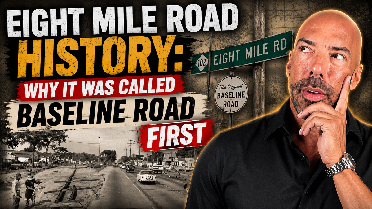
Eight Mile Road History: Why It Was Called Baseline Road First
# Eight Mile Road History: Why It Was Called Baseline Road First
In 1815, a team of government surveyors pushed through dense Michigan woodland with chains, compasses, and rods — not to build a road, but to draw a line. A straight, precise, east-to-west reference line that would anchor the measurement of an entire territory. They called it the Baseline.
Two centuries later, we call it Eight Mile Road. And almost nobody knows the difference.
That gap between what it *was* and what it's *become* in the cultural imagination is one of the most interesting hidden histories in all of Metro Detroit. So let's set the record straight — because understanding Eight Mile Road history changes how you see this region entirely.
A Surveyor's Tool, Not a Social Statement
The Michigan Surveyor General's office established the Baseline in 1815 as part of the broader effort to survey the Northwest Territory. The logic was purely geometric. Federal land surveyors needed a fixed horizontal reference — a true east-west line from which all other measurements north and south could be calculated with consistency.
Eight Mile Road was that line.
It had nothing to do with city limits, municipal boundaries, or anything resembling the cultural weight it carries today. It was math. Cartography. A way to carve up land that the young United States was trying to organize and sell as fast as possible after the War of 1812.
The road that eventually grew along this survey corridor didn't even exist in its current form for many decades. First came the line. Then came the farms, the townships, the subdivisions — and eventually, the pavement.
Why "Eight Mile"? The Township Grid Explains It
Here's where the geometry gets elegant. Once surveyors established the Baseline, they measured land in six-mile-square blocks called townships. Roads were typically platted at one-mile intervals within those grids.
"Eight Mile" refers to the road's distance — eight miles north of the Baseline used in the original Ohio survey system, or more precisely, its position within the Michigan meridian grid. The numbered mile roads throughout Metro Detroit — Five Mile, Six Mile, Seven Mile, Nine Mile — all follow the same logic. Each one is a relic of that original survey system, a numbering scheme so practical that it survived urban sprawl, highway construction, and over 200 years of development.
Drive out to Novi or any of the communities that grew up along these numbered corridors, and you're navigating a map that surveyors drafted with hand tools in the early nineteenth century.
From Baseline to Eight Mile: The Road Evolves
Through the 1800s, the Baseline Road served as a functional boundary between townships — Oakland County to the north, Wayne County to the south along much of its length. That jurisdictional reality, not any social intent, is what made it a line on an administrative map.
As Detroit* Detroit grew outward through the twentieth century, Eight Mile Road became the city's northern municipal limit. That administrative fact — a county line, a city boundary — gave it a bureaucratic significance it never originally had. The surveyor's baseline became a governmental edge. And edges, over time, acquire meaning that the people who first drew them never intended.
Today the road stretches more than 20 miles across Metro Detroit, running through communities from the western suburbs all the way to Macomb County in the east.
Why Eight Mile Road History Still Matters Today
The numbered mile roads are more than local trivia. They are the skeleton beneath Metro Detroit's entire layout.
Your commute follows them. School district boundaries often run along them. Property addresses reference them. The reason Birmingham sits where it does relative to Royal Oak, or why Livonia and Canton subdivisions grid out so predictably, traces back to that same 1815 survey logic.
When buyers ask me why lot lines in certain neighborhoods run the way they do, or why two subdivisions back up to each other at an odd angle, the answer is almost always the same: the survey grid. The Baseline and its mile-road descendants still govern the map in ways most people never think about.
Eight Mile Road history isn't just about one road. It's the origin story of how this entire region was measured, divided, and eventually built.
---
Frequently Asked Questions
Why is Eight Mile Road called Baseline Road?
Eight Mile Road was originally called Baseline Road because it was established in 1815 as a surveyor's baseline — a precise east-west reference line used to measure and organize land in the Northwest Territory. The name reflected its purely functional, geometric purpose in the federal land survey system.
What does "Eight Mile" actually refer to?
The "Eight Mile" name comes from the road's position within the township survey grid that followed the original baseline. As surveyors measured land north of the baseline at one-mile intervals, roads were platted accordingly — giving Metro Detroit its distinctive series of numbered mile roads from Five Mile through Nine Mile and beyond.
When did Eight Mile Road become Detroit's city limit?
Eight Mile Road became Detroit's northern municipal boundary as the city expanded outward through the twentieth century. Because it already served as a county line separating Wayne and Oakland counties along part of its length, it became a natural — and official — administrative edge, though that civic role developed long after the original 1815 survey.
Homes for Sale in These Areas
Oakland County
Wayne County
Macomb County
Stay Updated
Get market insights, tips, and news from the MARK Z team.